
JACKSON, Wyo. – A powerful early-season storm impacted Western Wyoming from Sunday afternoon through Tuesday night, resulting in significant precipitation including the first heavy snowfall of the season at Jackson Hole Mountain Resort and Grand Targhee.
October 1-4 Storm Recap
A strong and slow-moving low pressure system worked its way into the Intermountain West early this week, resulting in heavy precipitation across the Tetons and Northwest Wyoming.
On Sunday, we saw an appetizer with scattered showers and isolated thunderstorms, before more widespread rain and mountain snow developed on Monday and Tuesday. Snow levels (i.e. the rain/snow line) dipped as low as 7,500 feet on Tuesday morning.
Snow totals at Jackson Hole Mountain Resort as of Wednesday morning included 13 inches at the Rendezvous Bowl Plot (9,580 feet), 10 inches at the Raymer Plot (9,360 feet), and 8 inches at the Mid-Mountain Plot (8,180 feet).
On the west side of the Tetons, Grand Targhee received 11 inches at 9,260 feet with a few inches of accumulation noted at the base area at just under 8,000 feet.

Rainfall was also impressive with this system across the lower elevations. The Town of Jackson received 1.50 inches of rain from Sunday afternoon through Tuesday night. Average precipitation in Jackson for the month of October is 1.41 inches, so we have already exceeded the monthly average just four days into the month.
Rainfall was even heavier in Teton Valley with 1.80 inches recorded in Driggs. Rainfall amounts were not as heavy further north in the Jackson Hole Valley with 0.73 inches recorded at the Jackson Lake/Moran weather station.
So far, the wet summer we experienced has carried over into autumn. September precipitation was above average with 2.37 inches of rain recorded in Jackson, compared to an average of 1.60 inches. This was the wettest September since 2019 when 3.45 inches of rain fell in town.
Upcoming Weather Pattern
Heavy cloud cover and chilly temperatures have lingered over the Tetons on the backside of this storm system on Wednesday. Isolated light showers (valley rain/mountain snow) have still occurred from time to time, but significant precipitation from this storm is now behind us.
On Thursday, we will start to dry out more but stubborn cloud cover could still linger over the Tetons at times, while valley fog is also possible in the morning. Highs will warm up slightly into the upper 50s in the valley.
Late this week and into the weekend, a more significant warming and drying trend will occur as a ridge of high pressure takes hold over the Western U.S.

As a result, we will see mostly sunny skies and warmer afternoon temperatures each day from Friday through Monday with highs reaching the upper 60s. However, nights will be cold with overnight lows falling well into the 20s.
For perspective, average highs in early October in Jackson are in the low 60s and average lows are in the mid/upper 20s.
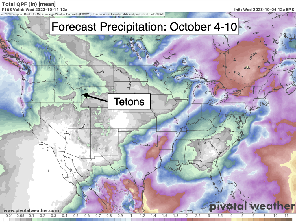
The next storm system is projected to arrive around Tuesday (October 10) or next Wednesday (October 11) with valley rain and mountain snow possible. This probably won’t be as strong as the last storm, but confidence in the details is low this far out.
Extended Outlook
Following the possible storm system around October 10th-11th, we will likely head back into a warmer and drier pattern for at least a few days late next week. It’s possible the drier pattern could persist into the weekend of October 14th-15th, but that is far from a certainty this far out.
Alan Smith, Meteorologist


