JACKSON, Wyo. — The avalanche danger in the Teton, Greys River and Togwotee forecast areas has been rated high above 9,000′ today, Feb. 21, according to Bridger-Teton Avalanche Center (BTAC).
In the Tetons, the combination of intense snowfall and wind will create wind slabs that will be large and easy to trigger, according to the BTAC avalanche forecast. “It will be a good day to stick to lower slope angles, terrain not exposed to steeper slopes overhead and avoid wind-loaded terrain. Human-triggered and natural avalanches are likely at upper elevations.”
According to the BTAC weather forecast, snowfall rates are expected to hit one to two inches per hour this morning before tapering off in the afternoon. “Over the next 24 hours, snowfall amounts of up to two feet are expected in the Tetons, another 9-12 inches in the Greys and seven to 10 inches at Togwotee Pass.”
“While there is some uncertainty about how our snowpack will react to the impending storm cycle, one thing is clear: the avalanche danger is on the rise, and we need to start traveling more cautiously in the backcountry. This means dialing back slope angles, paying attention to the consequences of going for a ride and avoiding all wind-loaded terrain. In zones that receive the most snow today, that will likely trend toward avalanche terrain avoidance and low-angle ‘dad pow,'” states the avalanche forecast.
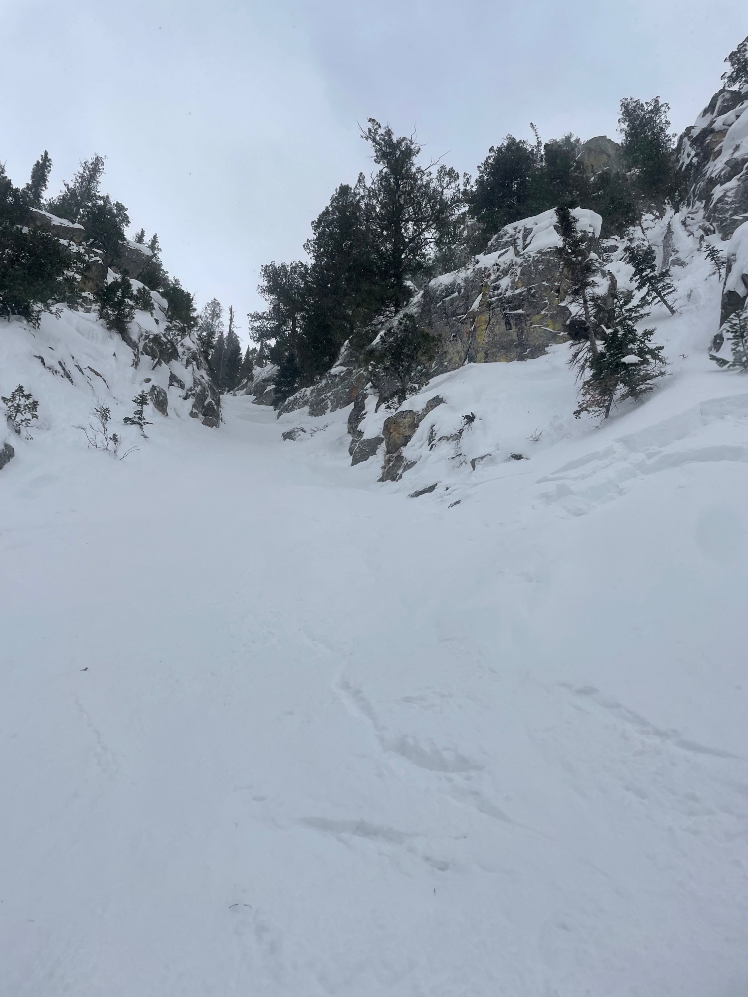
Yesterday, a skier triggered a soft slab avalanche on a southeast aspect of Mount Taylor, according to the BTAC observation page. A human-triggered avalanche was also reported in Granite Canyon yesterday. According to the observation summary, a skier was caught and carried, but not buried after triggering a slide at the bottom of “poop chute,” a northeast-facing aspect. They reported the elevation to be about 7,500′.
Read the full avalanche forecast and discussion for all three forecast areas here.